Estimating Road Edges from GPS Data
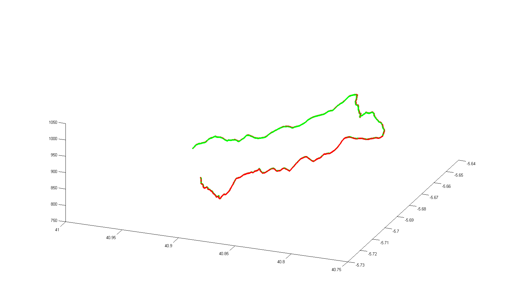
So I fleshed out a little bit of the idea from the previous post. Basically all this is right now is something that takes GPS data (longitude, latitude and elevation) and estimates the edges of the road. Here’s a nice picture. I still need to do some unit conversion stuff, actually have it be able to parse .gpx files from scratch, and generate the terrain map itself, but it looks cool for now.
Stay in the loop
Get notified when I publish new posts. No spam, unsubscribe anytime.